Loricatus drone survey
Geospatial intelligence for construction · A2 CofC certified
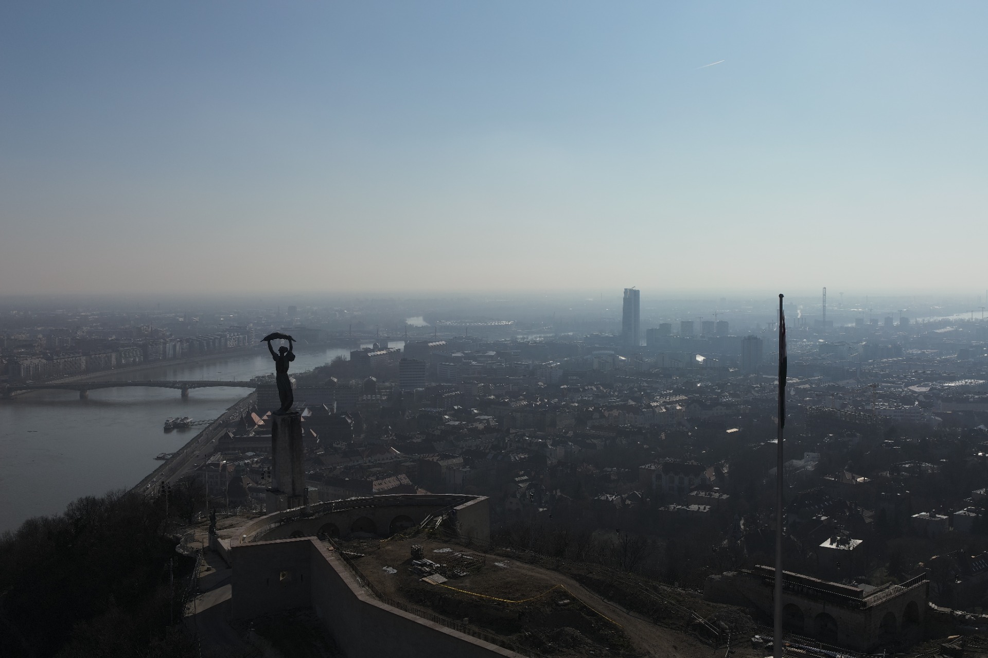
See the world
with clarity

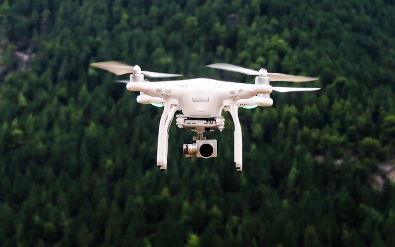
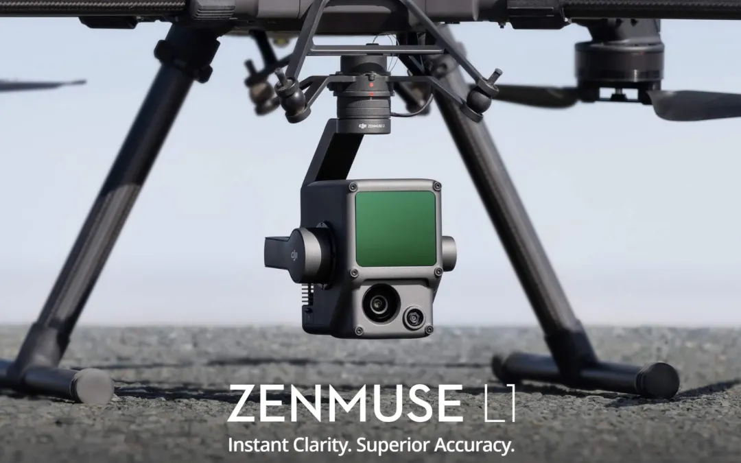
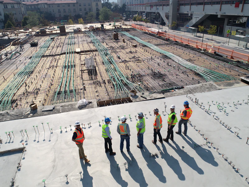
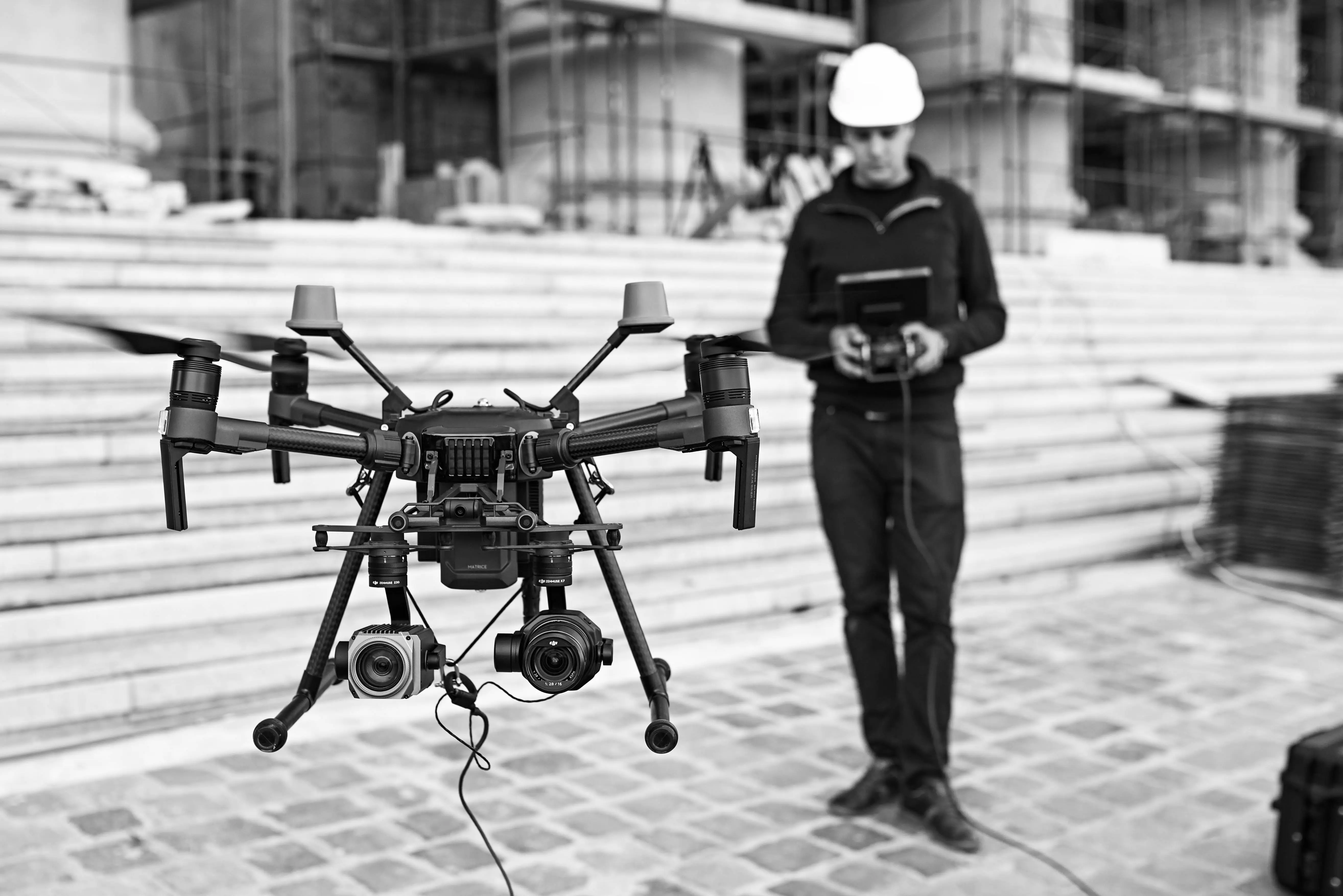
Drone operations, LiDAR, BIM coordination. What cannot be measured cannot be built.
Precision from the air for projects where data has to hold up in practice.

Scroll down
0+ Completed projects
0+ Flight hours
0% Client satisfaction
0+ Years of experience
02 / SERVICES

End-to-end drone
capabilities

We fly, capture, process, and coordinate. Each project gets the technology that actually supports the decision.

01

Aerial Photo and Video

Cinematic-grade aerial footage for real estate, events, industrial sites, and landscapes. Delivered in 4K to 8K with stabilized gimbal systems.

Request a Quote
02

Surveying and Mapping

Point-cloud-based terrain models and GIS datasets you can design, build, and verify against. Powered by RTK GNSS and real-time corrections.

Request a Quote
03

Building Inspection

Safe inspection workflows for bridges, chimneys, high-rise buildings, and industrial assets. The outcome is documented evidence, not just attractive visuals.

Request a Quote
04

LiDAR Scanning

Millimetre-accurate 3D point clouds for BIM-driven design and engineering documentation, across buildings, terrain, and infrastructure.

Request a Quote
05

Thermal Imaging

Thermal-loss detection for buildings, photovoltaic panel inspection, and industrial heat mapping. Fast diagnostics with decision-ready outputs.

Request a Quote
06

Precision Agriculture

NDVI and NDRE analysis, yield forecasting, and intelligent aerial crop monitoring for data-led agricultural operations.

Request a Quote
07

BIM Coordination

Your digital model as an active project tool. We align drawings, versions, and data flows so the approved source is always clear.

Request a Quote
03 / ABOUT
Loricatus engineering design and delivery
8+ years of
experience
A2 CofC certified
Aviation permits in place

Where data becomes
usable reality

At Loricatus, our job is to make the built world more accurate and more understandable. Sometimes it is straightforward. Sometimes it is not. Every project improves the next one.

We do more than fly drones. We build reliable digital context for design, construction, inspection, and handover. Our team combines engineering, surveying, and BIM coordination expertise, from the first site capture to the final deliverable. Whether the task is point-cloud surveying, asset inspection, or model coordination, data is not decoration here. It is the working basis.

Full regulatory compliance Hungarian and EU drone rules, aviation permits, and insurance aligned to project requirements
Project-specific processing Data processing and delivery schedules are matched to the real complexity and decisions behind each assignment
Measured, documented outputs Detailed reports, point clouds, CAD exports, and GIS datasets that can be acted on immediately
04 / FLEET

Industrial-grade
equipment

We work exclusively with certified professional hardware because output quality starts with the platform in the field.

DJI Matrice 400 SP Plus
Primary platform

DJI MATRICE 400 SP PLUS

Heavy-duty industrial drone platform for complex surveying, inspection, and data-capture missions

DJI Matrice 4 E SP Plus
Compact platform

DJI MATRICE 4 E SP PLUS

Rapid-deployment compact drone platform for site documentation, surveying, and visual inspection

DJI Zenmuse L3 (EU) SP Plus LiDAR sensor
LiDAR sensor

DJI Zenmuse L3 (EU) SP Plus

LiDAR-based sensor for high-accuracy point-cloud capture and detailed spatial data acquisition

05 / PROJECTS

Completed
projects

Real projects, real constraints, real outputs delivered where construction teams actually work.

NMHH EMC Laboratory BIM documentation
BIM Coordination

NMHH EMC Laboratory -
BIM documentation

Esztergomi Road · IFC export · CDE integration

Industrial chimney thermographic inspection
Building Inspection

Industrial chimney
thermographic inspection

LiDAR + thermal imaging · defect mapping

Drone survey of Matthias Church
3D Drone Survey

Matthias Church -
Buda Castle redevelopment

Drone photogrammetry · 3D point cloud · heritage protection

Budapest aerial survey - Gellert Statue
Aerial Survey

Budapest - Gellert Statue
aerial survey and documentation

Drone orthophoto · GIS database · urban topography

07 / PARTNERS

Clients and
partners

Industrial operators, construction companies, and public-sector clients trust us with projects where precision is not optional.

Adria Port
Confector
CREG
Indupro

And many more clients besides.

08 / FEEDBACK

What our partners
experienced

"

At one point I asked a simple question: which version is actually current? They knew immediately. We opened the model and everything was there, named, layered, and coordinated.

K
Attila Kovacs Project Manager, Magyar Epito Zrt.
"

Based on the NDVI maps, we reduced crop-protection chemical use by 18%. Loricatus did not give us a brochure. They gave us numbers we could act on.

S
Peter Szabo Farmer, 650 ha
"

Their thermal inspection exposed the insulation issue we had failed to identify for three years. That saved us from a major refurbishment cost.

N
Eva Nagy Property Manager, BPM Group
09 / CONTACT

Request a
free quote

Fill in the form and we will get back to you. Every project is different, so every proposal is built to fit the task.

Office Budapest, Toldy Ferenc u. 19.
3rd floor, door 18, 1015
Please enter your name
A valid email is required
Please choose a service
Please describe the project